Technology has come a long way in the land development industry. Several different types of tech can now be used to make the process easier, more efficient, and more accurate. In this article, we will discuss six technology types commonly used in land development projects. Keep reading to learn more.
Land Surveying Equipment
Successful land developer Damon Becnel agrees that surveying equipment is one of the most critical tools in land development. This technology is used to help determine the boundaries of a piece of property and measure the land’s elevations. Surveying equipment is also used to create maps and blueprints of proposed developments.
This information is essential for architects and engineers, who use it to plan and design buildings and infrastructure. In recent years, surveying equipment has become even more sophisticated, thanks to technological advances. As a result, land development has become more efficient and precise, resulting in better-quality buildings and infrastructure.
GPS Systems
Over the last few years, GPS systems have become increasingly popular in the land development industry. GPS (Global Positioning System) technology allows surveyors and developers to precisely map out the contours of a piece of property, identify potential obstacles, and plan the most efficient route for infrastructure development.
This new technology has made land development projects more efficient, cost-effective, and less disruptive to the surrounding environment. In addition, GPS systems can be used to monitor construction progress and ensure that all work is being completed according to plan. As GPS technology continues to evolve, even more uses will likely be found for it in the land development industry.
Engineering Software
Another type of technology that is often used in land development projects is engineering software. Engineers use this software to plan and design buildings, roads, and other infrastructure. Successful land developer Damon Becnel understands the importance of using engineering software to allow developers to create three-dimensional models of proposed developments, which helps visualize the project and ensure that everything will fit together as planned.
In addition, this software can simulate different construction scenarios, which can help avoid potential problems during the construction process. This in turn can save time and money for land developers.
Laser Scanners
Laser scanners are becoming an increasingly popular tool for land development projects. By emitting a laser beam and measuring the time it takes for the beam to reflect back, laser scanners can create highly accurate 3D models of an area. This data can be used to create detailed topographical maps, which can be used to plan roads, railways, and other infrastructure projects.
In addition, laser scanning can also be used to identify potential archaeological sites, as well as geological features that could impact the stability of a construction project. As laser scanning technology improves, even more uses will likely be found for this versatile tool. This is one type of technology that is sure to have a big impact on the land development industry in the years to come.
Heavy Construction Equipment
Heavy construction equipment is playing an increasingly important role in land development projects. Thanks to new technology, this machinery is now more capable than ever. For example, excavators can now be equipped with GPS systems that allow them to work with pinpoint accuracy. This is especially beneficial for large-scale projects where every inch counts.
Similarly, bulldozers and other heavy equipment can now be fitted with special attachments that allow them to handle various tasks. This versatility makes them essential for everything from clearing land to grading roads. In short, heavy construction equipment is an integral part of any land development project. Thanks to new technology, this machinery is now more powerful and versatile than ever before.
Drones
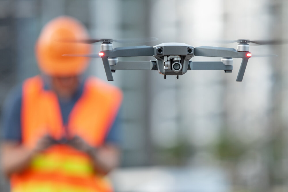
Drones are increasingly being used in various industries, including land development. This new technology offers several advantages, including quickly and efficiently surveying large land areas. In the past, surveying land for development purposes was a time-consuming and expensive process that required hiring surveyors to visit the site physically. With drones, however, developers can now quickly and easily obtain detailed information about a piece of property without ever having to step foot on it.
This saves time and money and makes it easier to identify potential development sites that might otherwise be overlooked. In addition, drones can be used to create detailed 3D models of proposed development sites, which can generate realistic visualizations of what the finished project will look like. As drone technology continues to evolve, even more uses for drones in land development will likely be discovered.
Conclusion
As you can see, various types of tech are used in land development projects, from drones and GPS systems to laser scanners and high-tech engineering software. This tech helps to make these projects more efficient and precise, resulting in better-quality buildings and infrastructure. In addition, this tech can help reduce these projects’ environmental impact by making them more cost-effective. Technology plays an essential role in land development and will only become more critical in the future.
